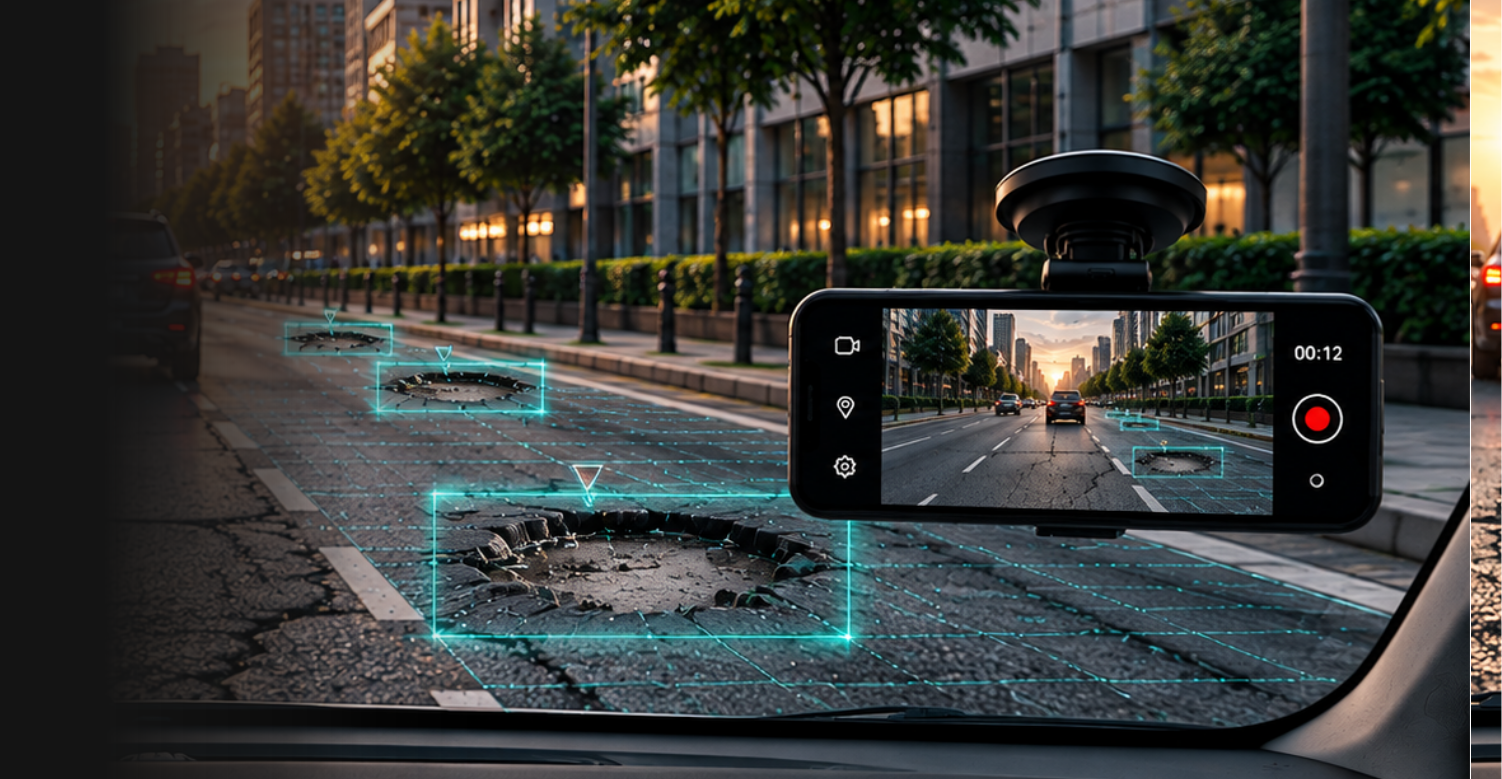

Automated Road Inspections
Use existing vehicles to capture road data automatically.

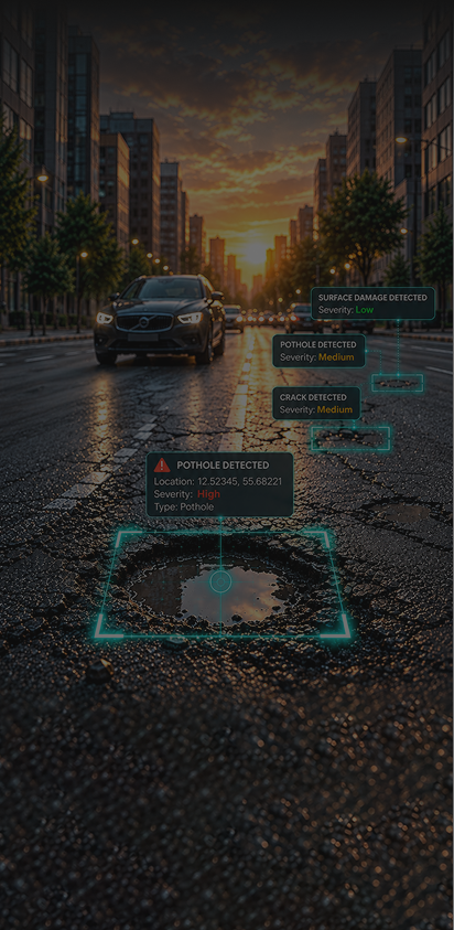
Rasta.Ai turns any vehicle into a mobile inspection unit, capturing 180 degree road imagery and using AI to detect defects, track assets, and flag service gaps like potholes, waterlogging, and garbage dumping in real time.
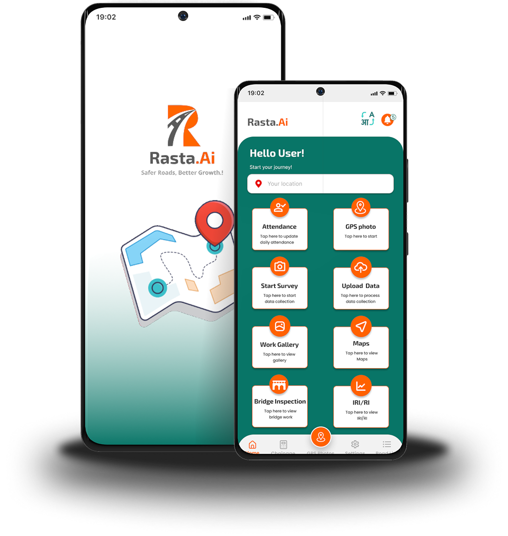
Available in 11+ Indian languages
Road Inspection | सड़क निरीक्षण | रस्ता निरीक्षण | રસ્તા નિરીક્ષણ | రహదారి తనిఖీ | সড়ক পরিদর্শন &
DOWNLOAD NOW
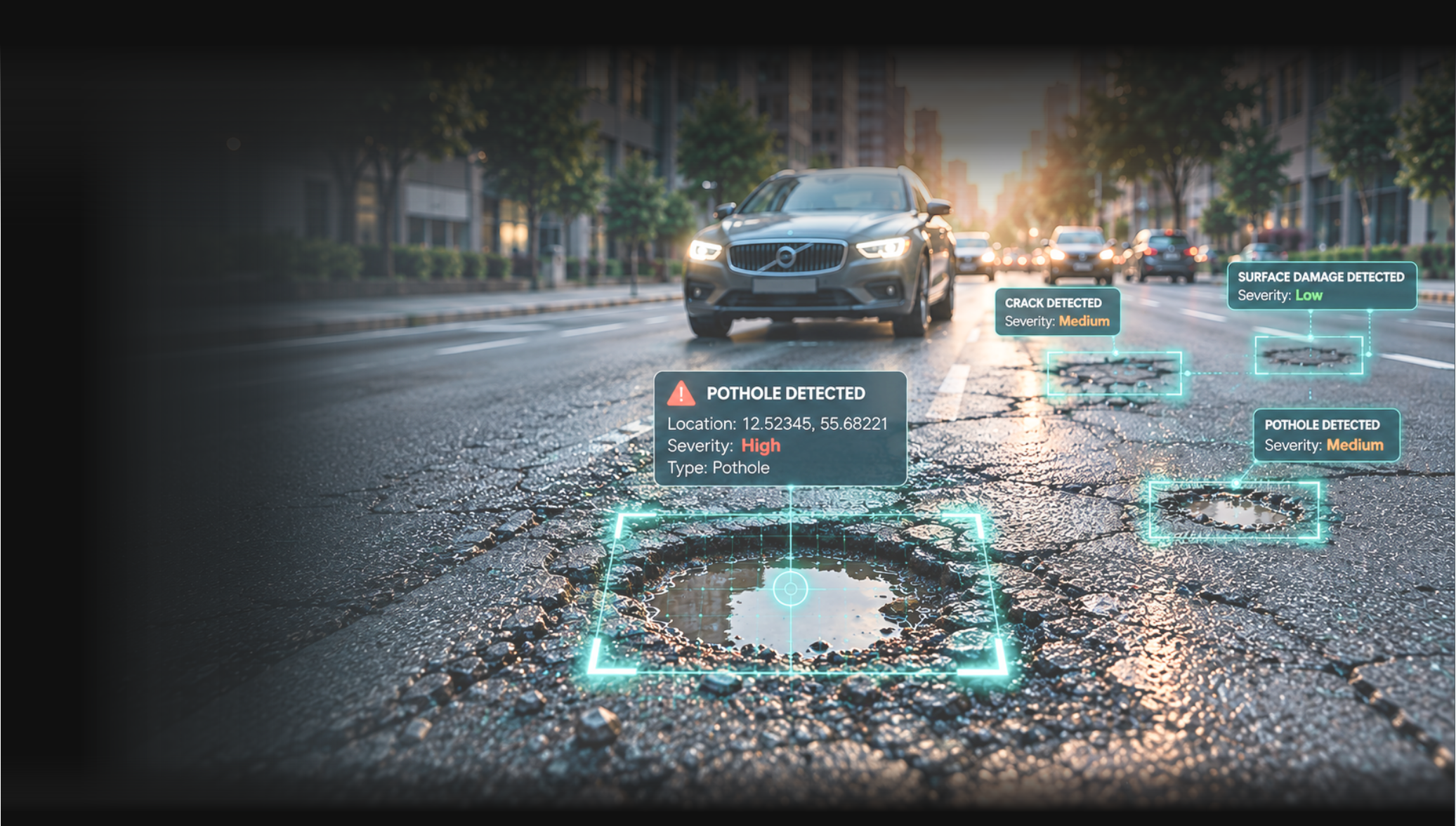
Rasta.Ai turns any vehicle into a mobile inspection unit, capturing 180 degree road imagery and using AI to detect defects, track assets, and flag service gaps like potholes, waterlogging, and garbage dumping in real time.
Available in 11+ Indian languages
Road Inspection | सड़क निरीक्षण | रस्ता निरीक्षण | રસ્તા નિરીક્ષણ | రహదారి తనిఖీ | সড়ক পরিদর্শন &
DOWNLOAD NOW
Comprehensive road assessment capabilities designed for engineers and infrastructure professionals.
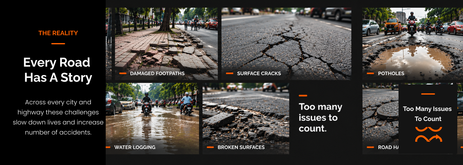
Rasta.Ai transforms ordinary vehicle journeys into continuous road-condition surveys, identifying defects, mapping their location and severity, and providing actionable insights for infrastructure teams.
Comprehensive road assessment capabilities designed for engineers and infrastructure professionals.
Use existing vehicles to capture road data automatically.
Identify potholes, cracks and surface damage in real time.
Every defect is mapped with accurate GPS coordinates.
Comprehensive 180-degree road surveys with AI-powered analysis and real-time processing.
IRI/RI/PCI measurements following international standards and scientific protocols.
Integrated mapping system with GPS coordinates and detailed site documentation.
Prioritize and plan repairs based on real data, not complaints.
Keep your road network under constant observation.
Keep your road network under constant observation.
Use existing vehicles to capture road data automatically.
Identify potholes, cracks and surface damage in real time.
Every defect is mapped with accurate GPS coordinates.
Comprehensive 180-degree road surveys with AI-powered analysis and real-time processing.
IRI/RI/PCI measurements following international standards and scientific protocols.
Integrated mapping system with GPS coordinates and detailed site documentation.
Prioritize and plan repairs based on real data, not complaints.
Keep your road network under constant observation.
Keep your road network under constant observation.
How It Works
Vehicle-mounted or mobile cameras capture road imagery.
AI analyzes images to identify defects.
GPS tags each defect with precise location.
Classify defect type and severity.
Visualize on maps and create inspection records.
Enable faster maintenance and safer roads.
Engineer-grade AI detection and scientific road assessment standards.
8+ defect types
Real-time image analysis
Automated classification
98% accuracy*
GPS-enabled data capture
Latitude/longitude tagging
Route mapping
Defect geolocation
Site-level records
Road-condition database
Image evidence
Severity assessment
Inspection history
Maintenance prioritization
Mobile-based data collection
Vehicle-mounted/phone cameras
Cloud platform integration
Scalable across road networks
Easy deployment